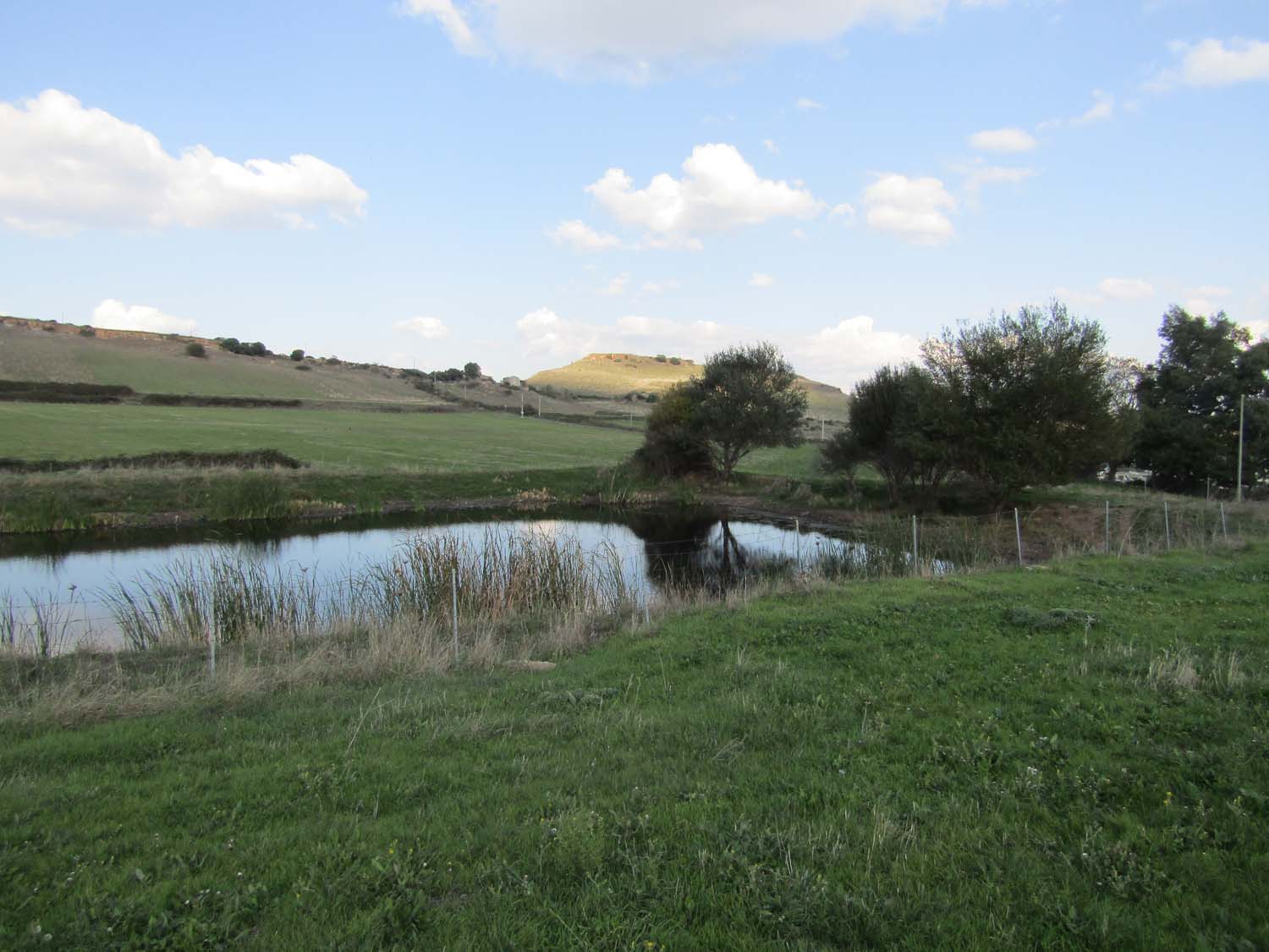
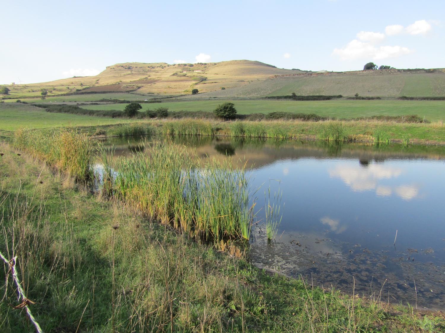
ITG25SAR2685 - Bacino di Bauddi
Wetland data
Basic information
| Wetland location: |
Inland |
| Wetland type: |
Artificial |
| Wetland area: |
0.2 Ha |
| Hydrological interaction: |
- |
| Water salinity: |
Fresh (< 0.5 g/l) |
| Hydroperiod: |
Permanent |
Geographic information
| Region: |
Sardinia |
| Province: |
Sassari |
| Island: |
Sardinia |
| Municipality: |
Ploaghe |
| Longitude: |
8.758963 East |
| Latitude: |
40.675046 North |
Biological significance
| Biological significance: |
Neutral |
Ramsar wetland type
| Type |
Coverage (%) |
| 2 -- Ponds; includes farm ponds, stock ponds, small tanks; (generally below 8 ha) |
> 95 |
Property status
Protection statuses
| Protection status category |
Protection status subcategory |
Area's name |
Code |
Coverage area (%) |
Legislation |
| Habitat and species protected area |
Wildlife refugee |
Monte Anzu |
OASI_SS17 |
100 |
Dc Ass Dif Amb. n.304 del 30 maggio 1990 e Det. D.S. Tut natura n. 673 del 22 giugno 2010 |
Activities on wetland
| Activity |
Intensity |
| 100 = Cultivation |
Medium |
| 140 = Grazing |
High |
Impacts
| Impact |
Intensity |
| PFO = Fertiliz./Excess nutrient pollut. of an unknown severity/duration |
Medium |
| PVO = Decrease in dissolved oxygen of an unknown severity/duration |
High |
Flora
| Species |
Presence status |
References |
| Dittrichia graveolens |
Present |
Fois & Cuena 14.10.2018 |
| Olea europaea |
Present |
Fois & Cuena 14.10.2018 |
| Salix alba |
Present |
Fois & Cuena 14.10.2018 |
| Typha latifolia |
Dominant |
Fois & Cuena 14.10.2018 |